
Hyperspectral
Black Square’s flagship remote sensing service is the simultaneous acquisition and fusion of hyperspectral and LiDAR data from manned aircraft — a capability currently unique in Colombia and Latin America.
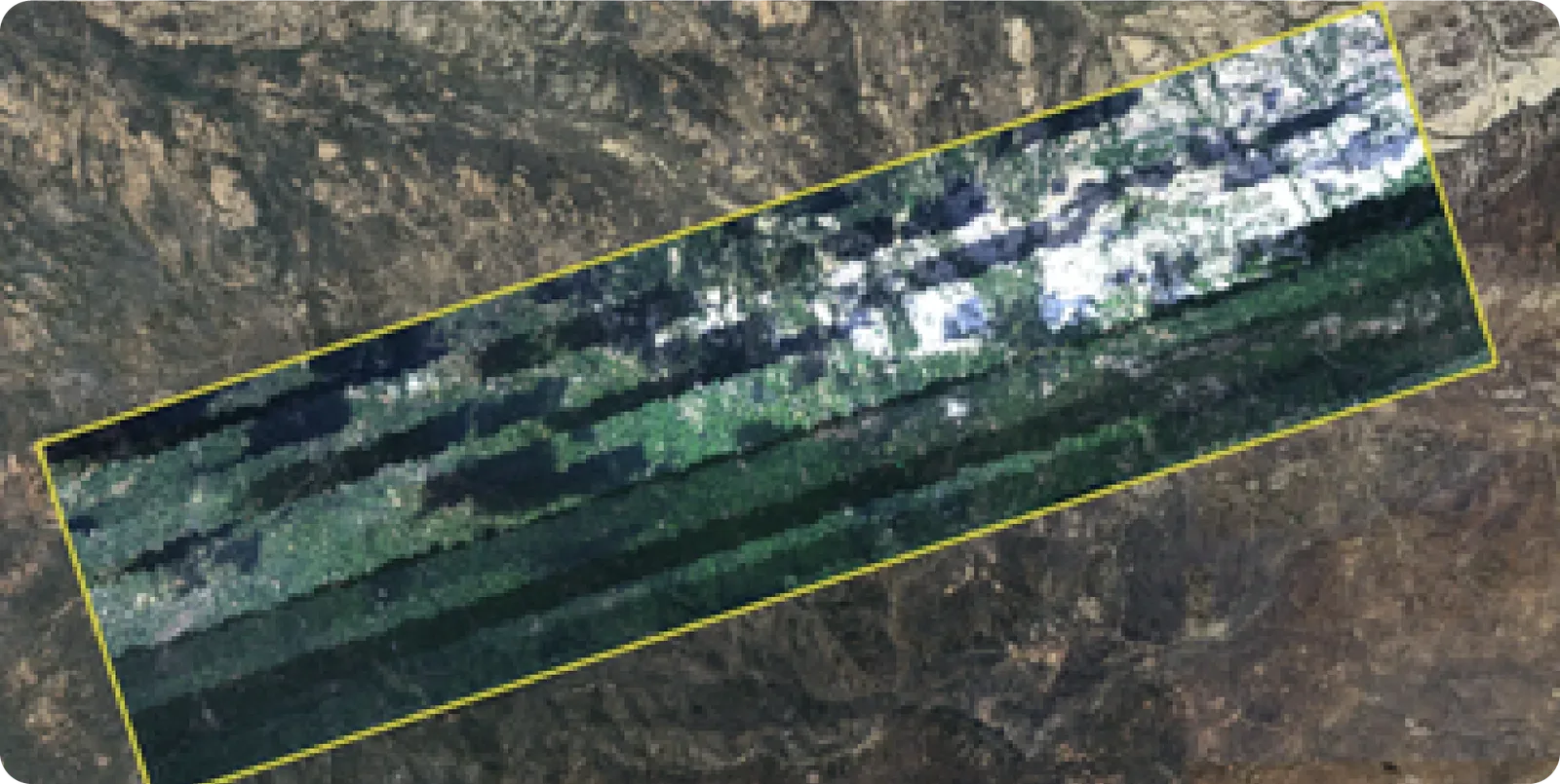
We work with hyperspectral sensors that integrate the power of digital imaging with advanced spectroscopy. Unlike a conventional camera, every pixel captured contains a continuous spectrum of information — radiance and reflectance — distributed across dozens or even hundreds of spectral bands. This lets us analyze materials, surfaces, and conditions with a level of precision that traditional technologies simply cannot achieve.
Precision at the source
HySpex sensors are engineered to guarantee:
Clean capture
Clean capture even at the spectral extremes.
Stability
Stability against external variables such as voltage fluctuations, lighting changes, and environmental conditions.
High fidelity
High fidelity in measured reflectance.
Data integrity
A high correlation between adjacent bands (>0.9) prevents information loss and eliminates the need to discard data due to noise.
The power of spectral signatures
Every material has a unique “fingerprint” within the electromagnetic spectrum. Our work focuses on capturing, processing, and interpreting this signature to transform complex data into actionable insights.
Leveraging this capability, hyperspectral technology solves real-world challenges across multiple industries.
Two Ways to See the Earth
Hyperspectral and LiDAR are built on completely different physics — which is exactly what makes them so powerful together.
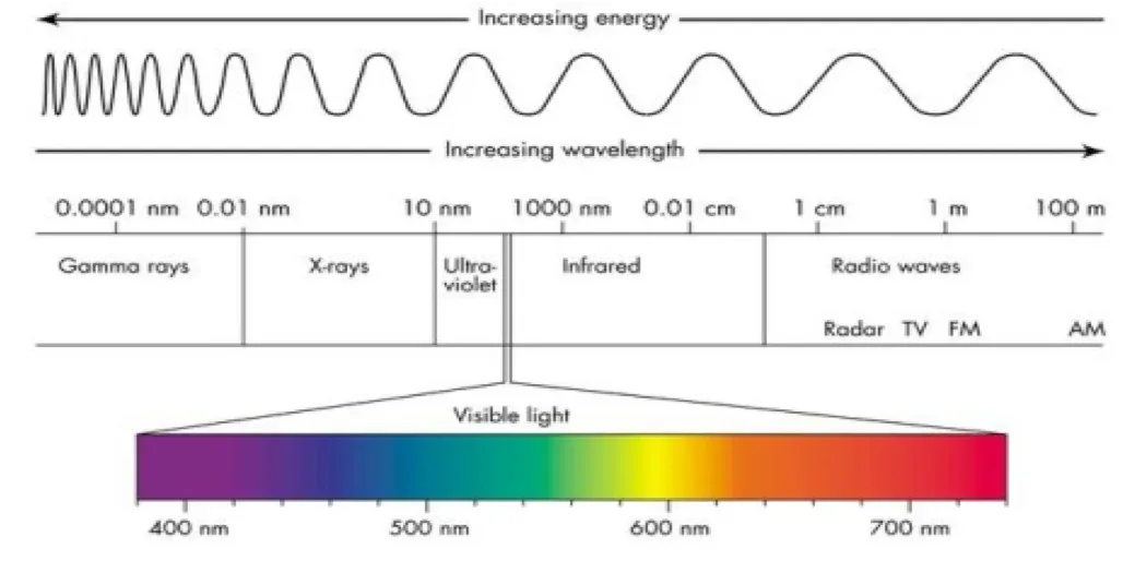
Every surface on Earth reflects light — and that light can be split into individual wavelengths. The human eye sees only a narrow slice of that spectrum. Our hyperspectral sensors see far beyond it: visible range plus near-infrared and shortwave infrared. At every wavelength a surface reflects a different amount of light — a chemical fingerprint as unique as it is precise. A vein of ore reads differently from the rock around it.
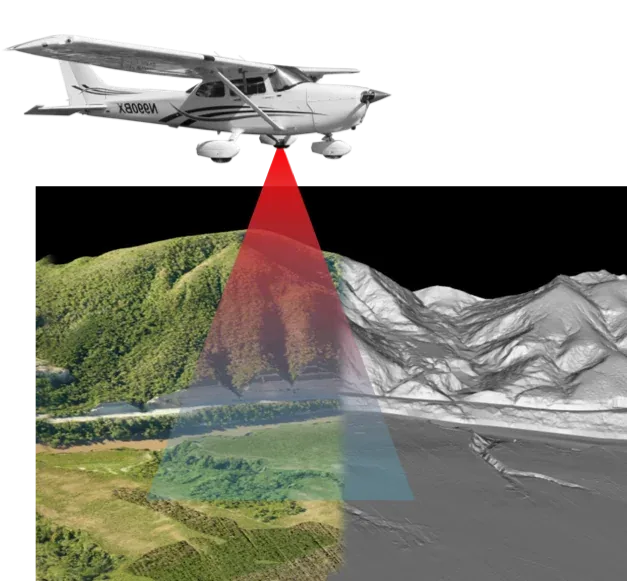
LiDAR works by timing light, not reading it. The sensor fires laser pulses toward the ground; each pulse can bounce off more than one surface on the way down — a treetop, then a branch, then the ground beneath — coming back as multiple returns. The system measures round-trip time and converts it into distance, millions of times per second.
The direct output is a hyperspectral cube: an image where every pixel carries its own complete spectral signature, not just a red-green-blue value. Quality is defined by spatial resolution — how much ground each pixel covers — and spectral resolution — how finely light is divided into bands.
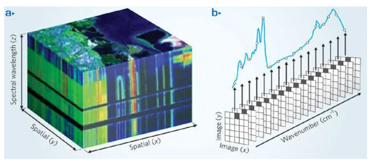
The direct output is a point cloud: a dense collection of 3D points, each with its own X, Y, Z position plus attributes like a GPS timestamp. Once processed, every point is classified by what it hit — ground, vegetation, buildings — turning a raw cloud of dots into a structured map.
We fly the Mjolnir VS-620 by HySpex — a Norwegian sensor recognized worldwide for per-pixel data quality, built for both drones and manned aircraft. It houses two sensors in one: VNIR (400–1,000 nm) for vegetation, and SWIR (1,000–2,500 nm) for soils and minerals.
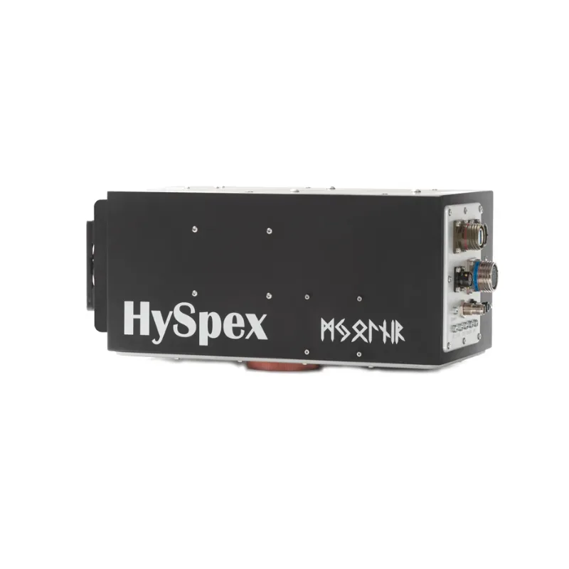 HySpex Mjolnir VS-620
We fly the Riegl VQ-480 — a survey-grade airborne laser scanner engineered for large-scale work, built to resolve multiple returns per pulse so even dense canopy doesn’t stand between the laser and the ground beneath it.
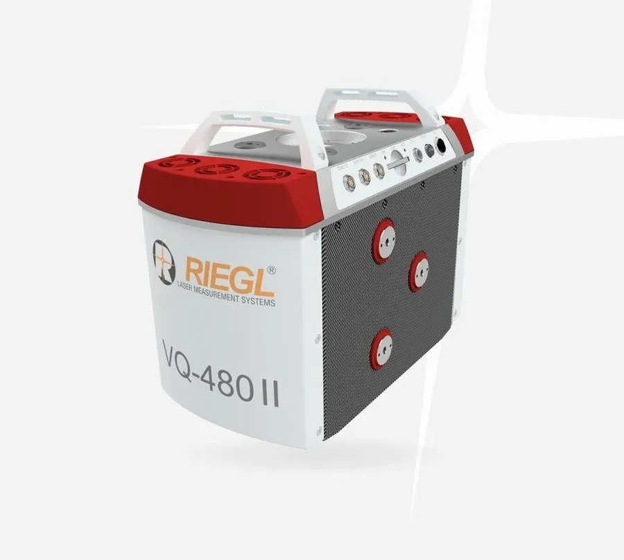 Riegl VQ-480 II
Chemistry
Hyperspectral tells you what something is made of
Geometry
LiDAR tells you exactly where it is and what shape it takes
Flown together on the same mission, that combination is useful across a wide range of applications.