Remote Sensing
Black Square operates its remote sensing service under a mission-based model: we go to the site, operate the technology, collect the data, and transform it into interpretations and deliverables that support decision-making.
Deliverables by sector
Maps, models and application-specific products, organized by industry. Select a sector to explore its deliverables.
Need these deliverables for your project?
Request the acquisition of dataOur workflow process
Mission Design
We define the mission end to end:
- Define technical objectives, platforms, and sensors.
- Assess site-specific logistics and terrain conditions.
- Manage all required operational authorizations.
- Coordinate with the client.
Data Acquisition
We deploy to the field and capture:
- Deploy pilots and specialists to the field with the required equipment.
- Collect high-precision data.
Analysis & report delivery
We turn raw data into decisions:
- Process data using analytical methodologies and state-of-the-art technology.
- Generate detailed technical reports, interpretations, and imagery.
- Deliver raw datasets for inspection history.
- Support more informed and strategic decision-making.
Our flagship remote sensing service
Explore hyperspectral
Fused hyperspectral and lidar data acquisition
The only provider in Colombia and Latin America.
In the field
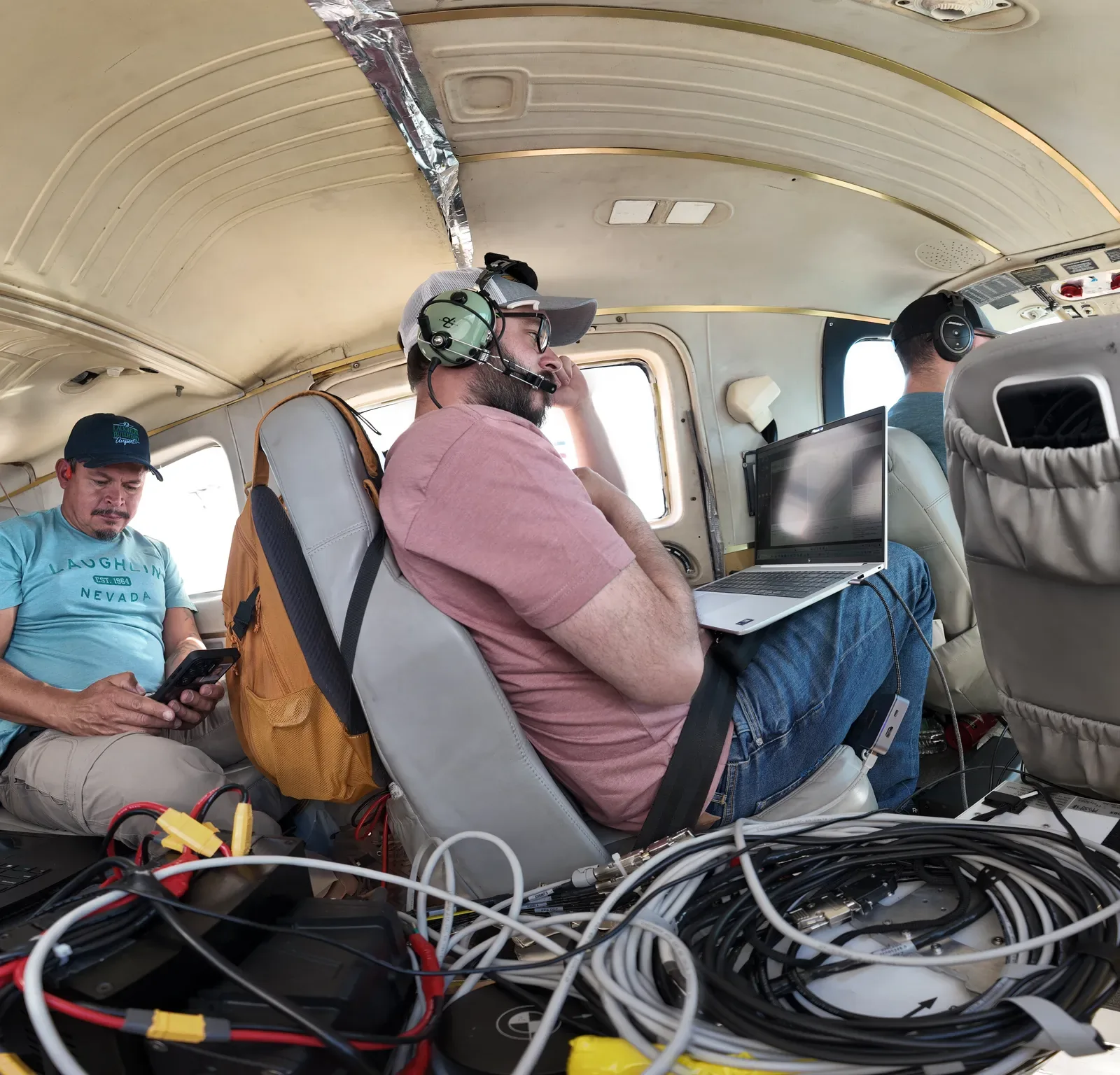
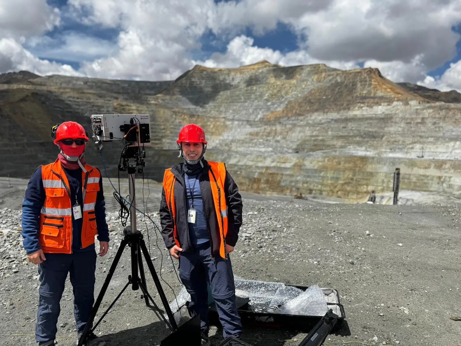
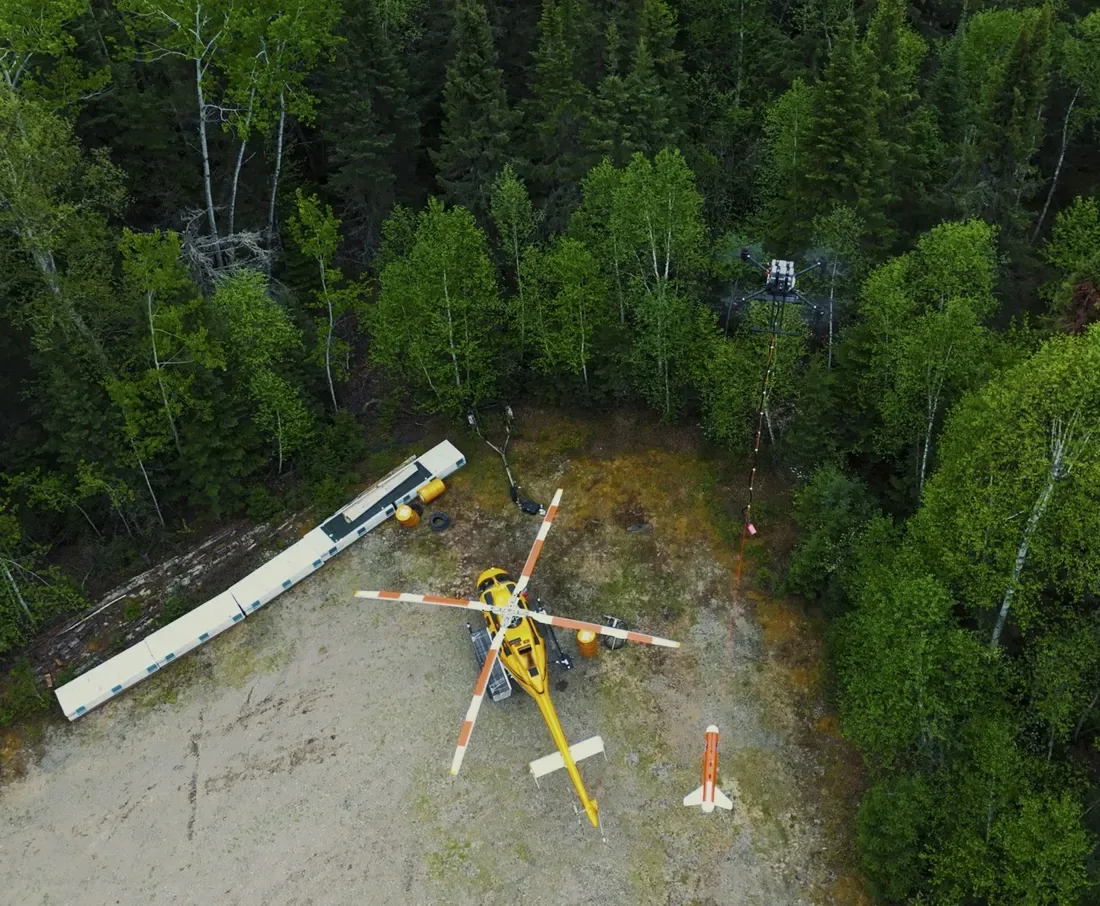
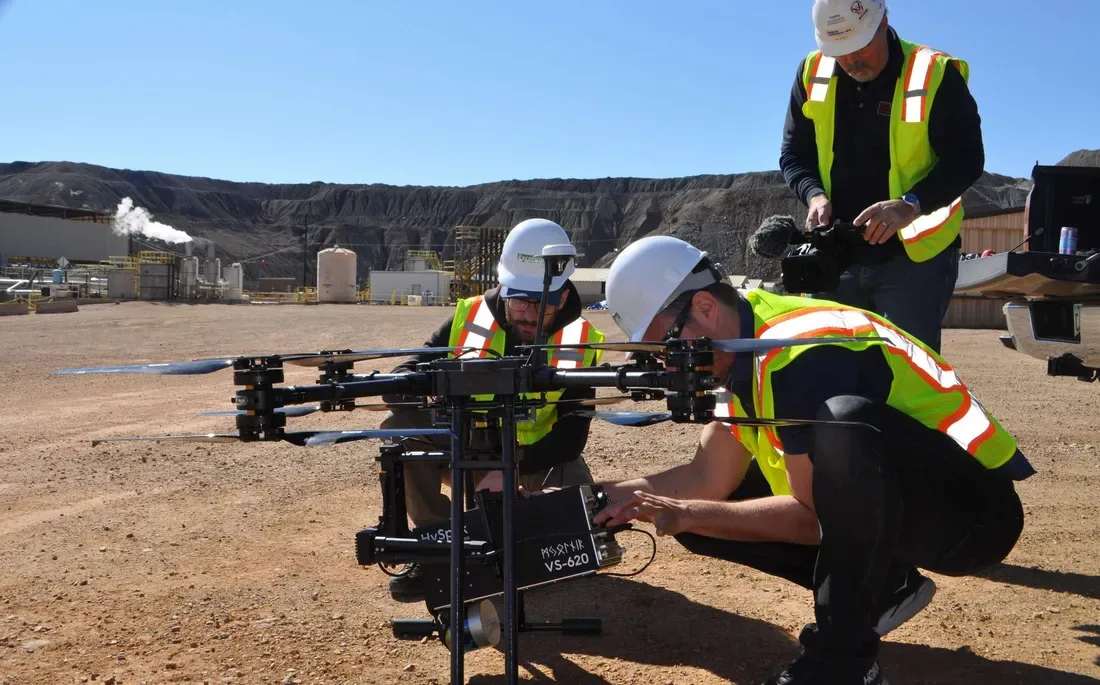
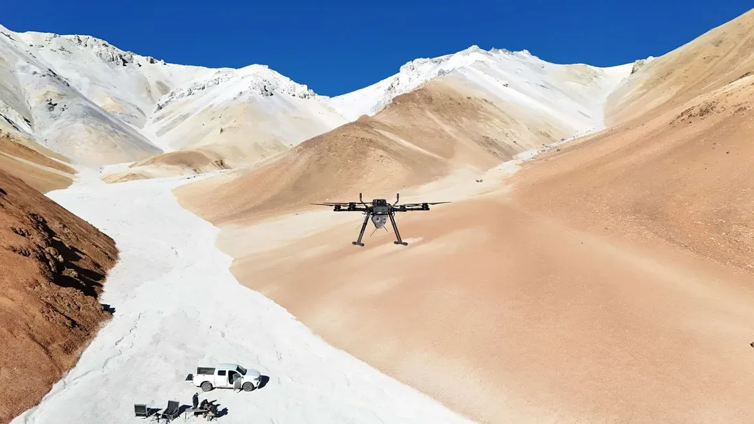
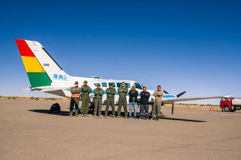
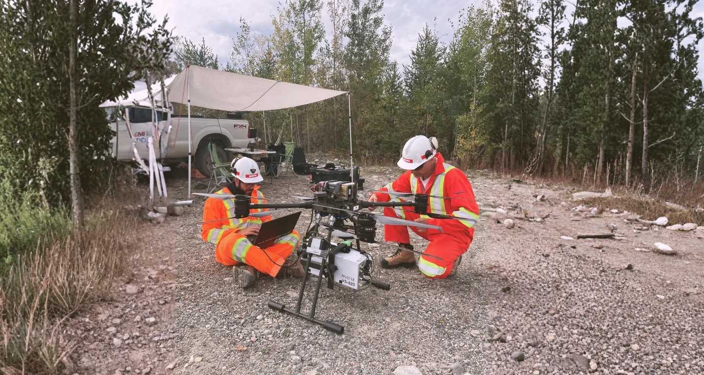
Remote sensing in action